


During archaeological excavations carried out in the Machu Picchu complex area, previously unknown roads dating from the Inca period were discovered. The UW Center for Andean Studies and its partner, the Wrocław University of Science and Technology, have made a significant contribution to this discovery.
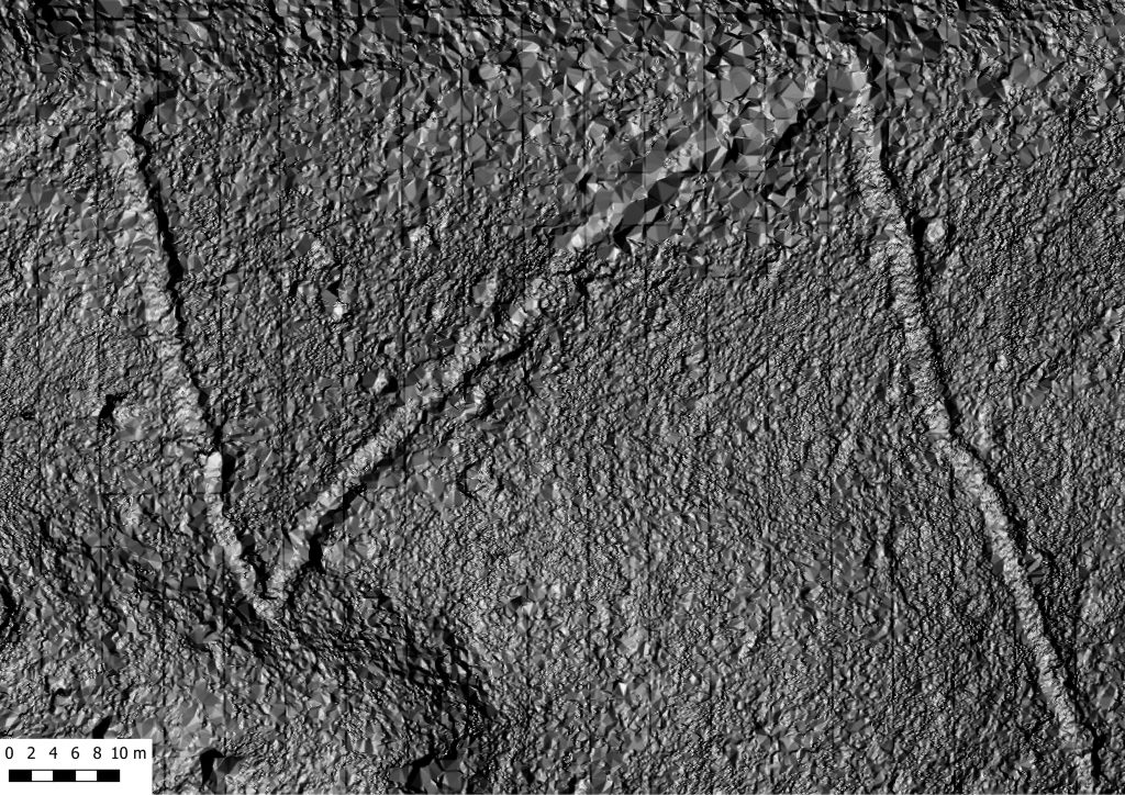
The discovery is the result of research carried out within the Machu Picchu National Archaeological Park using LiDAR remote sensing technology – a tool that provides detailed information about the terrain and detects objects hidden beneath dense vegetation.
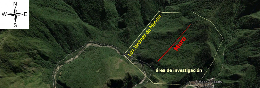
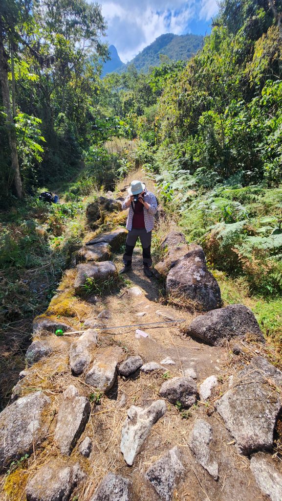
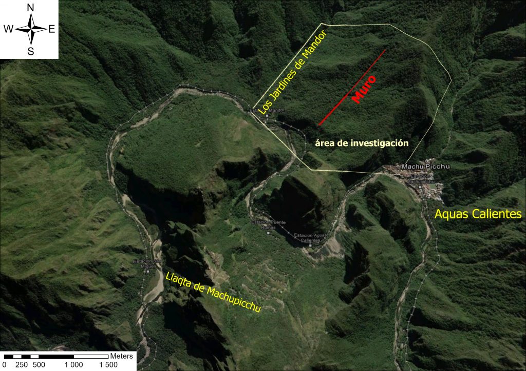
Fieldwork carried out in late July and early August 2026 by a Polish-Peruvian team led to the identification of over 2.5 km of pre-Columbian roads, hitherto completely unknown as they were covered by dense tropical forest. These roads lead to platforms and terraces in the area adjacent to the so-called “Mandor Wall” (Muralla de Mandor), directly opposite the famous site of Machu Picchu, on the right-hand side of the Urubamba Valley, opposite to its location.
“This discovery complements and significantly revises hypotheses regarding the functioning of the entire complex,” says Prof. Mariusz Ziółkowski, director of the Center for Andean Studies at the University of Warsaw, adding: “Within Machu Picchu National Park, there are over 60 archaeological sites linked by a network of roads. These sites served various satellite functions in relation to the main complex, known as Llaqta de Machu Picchu. They are situated mainly on the left bank of the river, and it seemed that this was where the Incas had concentrated their urban planning efforts. The roads we have discovered alter this picture – it turns out that the other side of the river also underwent significant cultural transformations during the Inca period.”
What next?
Discussions are currently underway with the Dirección Desconcentrada de Cultura – the local branch of the Peru’s Ministry of Culture – regarding the framework for research collaboration over the next few years.
“In next year’s campaign, our primary goal is to complete the remote-sensing survey. Based on this, we plan to carry out fieldwork, involving at least the partial excavation of these roads and associated structures. For the time being, both our team and the Peruvian side are exercising caution when it comes to publicly disclosing the exact location of these finds. The reason is simple – a fear of the unbridled and, unfortunately, often harmful curiosity of various ‘amateur treasure hunters’,” concludes Prof. Ziółkowski.
International cooperation
The discovery was made possible thanks to a long-standing scientific collaboration – which began in 2008 – between the Center for Andean Studies at the University of Warsaw, the Regional Directorate of Culture in Cusco (DDC Cusco) and the Machu Picchu National Archaeological Sanctuary.
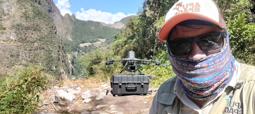
This year’s research and documentation were carried out by a team comprising archaeologist Dr Jan Kłaput from the UW Center for Andean Studies, Dr Bartłomiej Ćmielewski from Wrocław University of Science and Technology, who supervised the LiDAR scanning process using a drone, and Dr Paweł Dąbek from the Wrocław University of Environmental and Life Sciences, as well as the Peruvian archaeologist Jeff Rocky Contreras Soto from Apu Space.
Dr Nino del Solar Velarde, head of the Machu Picchu Archaeological Research Coordination Office at the Regional Directorate of Culture in Cusco (DDC Cusco), supervised the fieldwork, which was funded by the University of Warsaw.
Peru’s Minister of Culture Alberto Beingolea Delgado, who was appointed at the end of July 2026, announced the Ministry’s support for further research into this important discovery during an inspection visit to Machu Picchu on 11th August. Further information on this subject can be found at www.culturacusco.gob.pe >>